
HomeOur ActivitiesUNISEC Earth/CanSat Mapping
UNISEC and Tokyo Metropolitan University made a digital archive “UNISEC Earth| CanSat Mapping” which gathered an outcome to small satellite and CanSat made by university and technical college student on the digital ground.
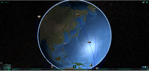
This arcive supports PC and smartphone web browser.
(When a button of the upper right is clicked, a screen is switched over to CanSat Mapping.)